History and Space

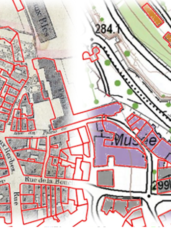
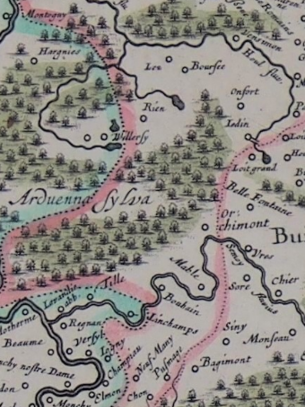
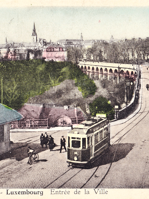
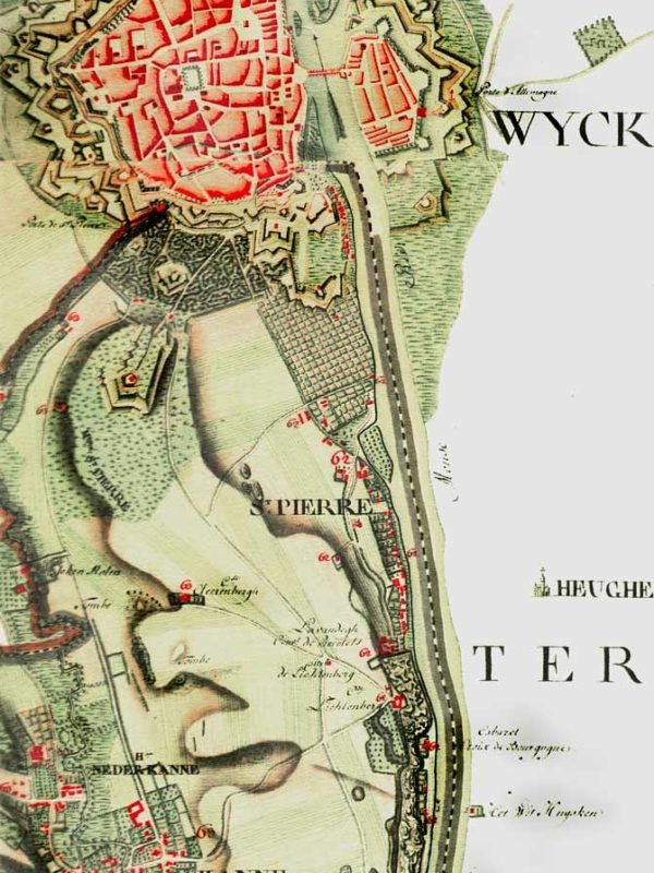
Spaces are historically constructed and continuously rearticulated.  Space-related approaches are not limited to questions of territoriality, but allow the analysis of political, economic, social and cultural phenomena and address notions of center and periphery. Cartographical methods are used to visualize spatial changes in time. Digital Historical cartography is a key instrument for projects launched by IHIST. (* individual PhD project)

VILLUX X
Histoire des villes luxembourgeoises 10

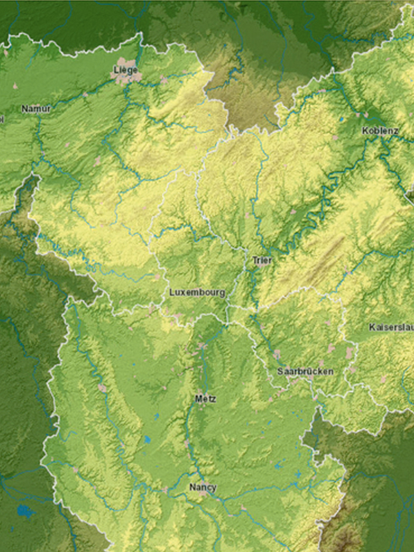
GR-ATLAS
Interactive Atlas of the Greater Region SaarLorLux

TERRES ROUGES
Histoire de la sidérurgie luxembourgeoise

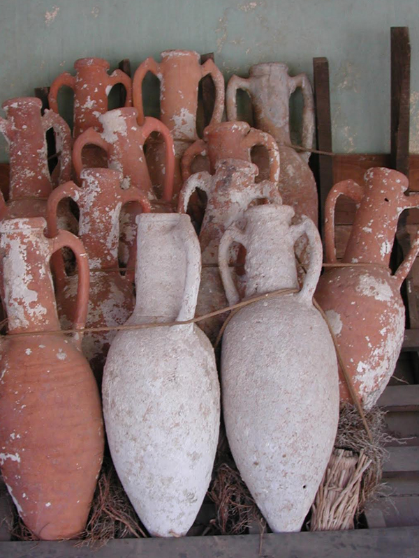
HANDELS- UND TRANSPORTSYSTEME IN GALLIEN UND GERMANIEN (*)
während der Römischen Kaiserzeit bis 301 n. Chr.

SOZIALTOPOGRAPHISCHE ENTWICKLUNG DER STADT LUXEMBURG (*)
im 19. und 20. Jhd.

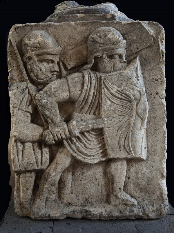
LEGIO XXII (*)
Primigenia Pia Fidelis

Ferraris

BACK TO GO (*)
Rethinking the nature of human interactions with environment in medieval Luxembourg

Research_map_karl_solchenbach-600x800

VERGLEICHENDE ANALYSE HISTORISCHER KARTEN (*)
des Rhein-Maas-Moselraums vom späten 15. Jahrhundert bis zum Wiener Kongress